Elk River, Big Sugar Creek, Indian Creek and Little Sugar Creek
No Records Found
Sorry, no records were found. Please adjust your search criteria and try again.
Google Map Not Loaded
Sorry, unable to load Google Maps API.
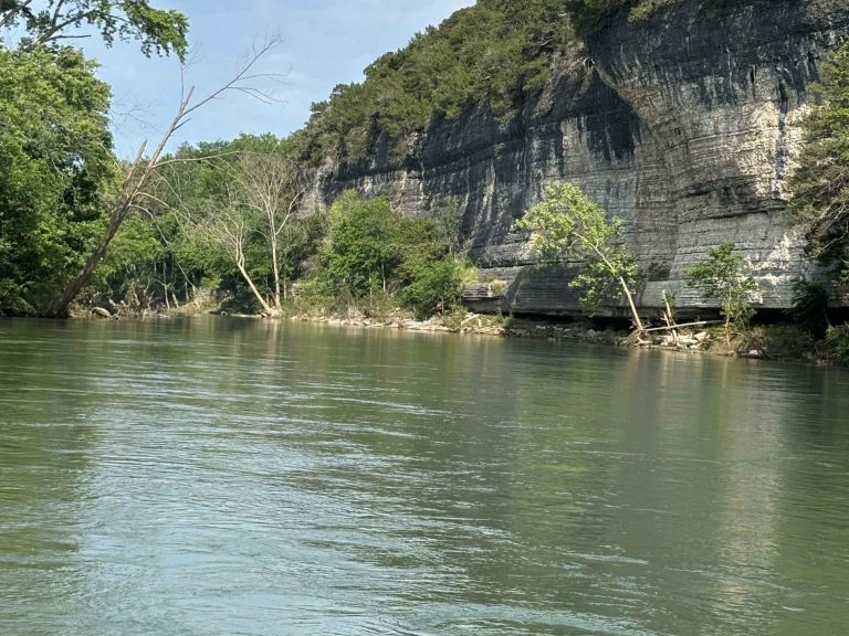
Elk River: The Ultimate Party Float Destination!
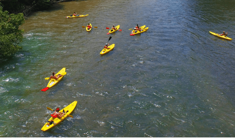
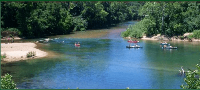
If you’re looking for a river that’s equal parts excitement and relaxation, the Elk River is calling your name! Flowing 35 miles through southwest Missouri, this river is famous for its gentle currents, clear waters, and lively float scene. Whether you’re canoeing, kayaking, or tubing, Elk River is the perfect spot for a laid-back float with friends, family, or even a big group trip!
Running through Pineville and Noel, this river is packed with campgrounds, rental outfitters, and riverside resorts, making it super easy to plan an epic getaway. With plenty of sandbars for picnicking and swimming, plus great fishing for smallmouth bass and catfish, there’s something for everyone. Whether you want a peaceful paddle or a rowdy, fun-filled weekend on the water, Elk River delivers!
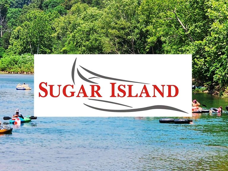
Big Sugar Creek: A Hidden Gem for Floaters and Anglers!
Tucked away in the southwest corner of Missouri, the Big Sugar Creek is a Big Fun destination for floaters, paddlers, and anglers alike! Flowing about 47 miles, this spring-fed stream boasts crystal-clear waters, lush forested banks, and plenty of thrilling twists and turns that make for an exciting float. Whether you’re kayaking, canoeing, or tubing, you’ll love the gentle rapids and shady pools that provide the perfect mix of adventure and relaxation.
Running near Pineville and Noel, Big Sugar Creek is a top-notch spot for smallmouth bass fishing and wildlife watching—don’t be surprised if you spot a bald eagle soaring overhead or a turtle sunbathing on a rock. Plus, with its connection to the Elk River, you can extend your float trip for even more fun. If you’re looking for a river that’s scenic, serene, and packed with outdoor thrills, Big Sugar Creek is the place to be!
Indian Creek: A Peaceful Escape with Big Scenery!
Flowing through southwest Missouri, Indian Creek is a serene and scenic waterway perfect for kayaking, canoeing, and fishing. With its gentle currents, shaded banks, and occasional rocky outcroppings, this creek offers a laid-back floating experience that’s great for all skill levels.
Passing near Anderson and Lanagan, Indian Creek eventually feeds into Elk River, a popular floating destination. The creek is well-known for its excellent fishing, with smallmouth bass, rock bass, and catfish thriving in its waters. Wildlife is abundant along the banks, so keep an eye out for great blue herons, turtles, and deer. Whether you’re looking for a quiet paddle, a fun fishing trip, or a scenic retreat into nature, Indian Creek is a hidden gem worth exploring!
Little Sugar Creek: A Crystal-Clear Adventure in the Ozarks!
The Little Sugar Creek, flowing through southwest Missouri, is a hidden gem for paddlers and outdoor lovers. With its crystal-clear waters, gentle riffles, and scenic rock bluffs, this creek offers a fun and relaxing float trip that’s perfect for canoeing, kayaking, or tubing.
Running near Pineville and Noel, Little Sugar Creek is a great spot for fishing, with smallmouth bass, sunfish, and catfish thriving in its cool waters. The lush forests and towering limestone bluffs along the banks provide a beautiful backdrop for a peaceful day on the water. Whether you’re looking to float lazily down the creek, cast a line, or enjoy a refreshing swim, Little Sugar Creek is a southwest Missouri treasure that’s waiting to be explored!
-
-
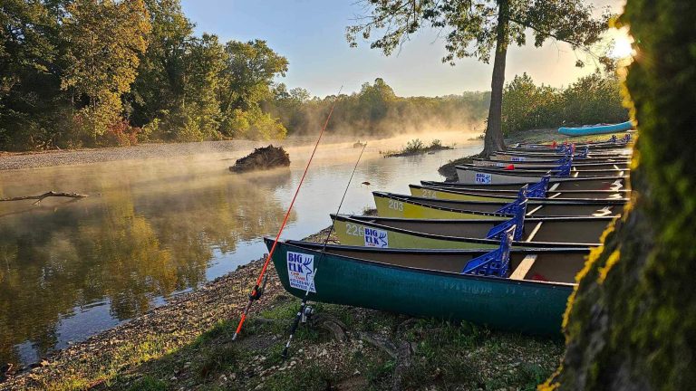
About Big Elk Floats & Camping Big Elk Floats & Camping is your full-service, family fun, river destination. We have been giving Elk River campers, canoe and kayaking enthusiasts an experience that is both adventurous and relaxing since 1989. Located on the south side of the Elk River bridge at the confluence in Pineville, Missouri, we specialize in float trips Read more...
-
River Ranch Resort in Noel, MO is centrally located in the four-state area. This makes us a perfect destination for your group camping adventure! We sit on the beautiful Elk River – a great choice for a summer float trip. In Noel, Missouri, float trips are the perfect way to spend the days relaxing and having fun on the water. Read more...
-
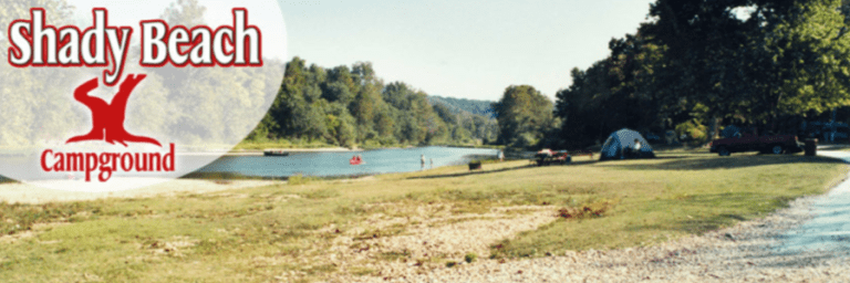
Shady Beach Campground offers float trips on the Big Sugar, Indian, and Elk River. We offer canoes, kayaks, rafts, tubes, zipline, camping, cabins, and vacation rental homes. Read more...
-
-
Two Rivers Canoe Rental offers float trips on the Jacks Fork and Current Rivers. We have canoes, rafts, kayaks, tubes, store, campground, and shuttles. Read more...
-
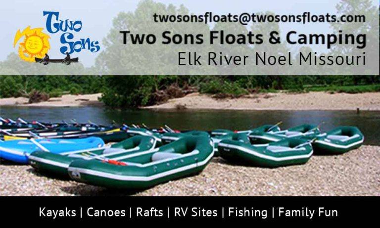
Welcome to one of the nicest and friendliest campgrounds on the Elk River. We greet you with open oars the moment you walk through the door. Paddle on in and find out what true nature is all about. Let our experienced staff answer all your questions and get you started on your adventure today! Two Sons Floats and Camping is located Read more...