Black River
No Records Found
Sorry, no records were found. Please adjust your search criteria and try again.
Google Map Not Loaded
Sorry, unable to load Google Maps API.
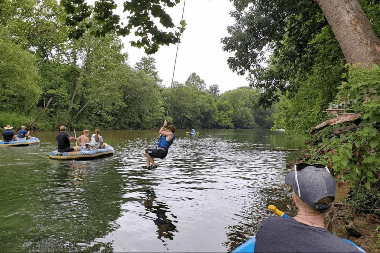
Black River: Crystal-Clear Waters & Endless Adventure!
If you’re searching for one of the clearest, most beautiful rivers in Missouri, look no further than the Black River! Flowing about 300 miles, this stunning waterway is a favorite for floaters, swimmers, and anglers who love its cool, spring-fed waters and breathtaking Ozark scenery. Whether you’re paddling a canoe, floating in an inner tube, or diving into a deep blue swimming hole, the Black River delivers nonstop fun.
The river winds through charming towns like Lesterville, Annapolis, and Piedmont, offering easy access to campgrounds, resorts, and swimming beaches. It’s also a hotspot for fishing, especially for smallmouth bass, goggle-eye, and catfish. A must-visit destination is the famous Johnson’s Shut-Ins State Park, where the river tumbles over smooth volcanic rock, creating natural water slides! Whether you want an action-packed adventure or a lazy day on the water, the Black River is the ultimate Ozark escape!
-
Twin Rivers Landing offers float trips on the Black River. We have canoes, rafts, kayaks, tubes, campground, cabins, cowboy church, store, wedding/event venue, and lodge. Read more...