Sorry, no records were found. Please adjust your search criteria and try again.
Google Map Not Loaded
Sorry, unable to load Google Maps API.
Current River: The Ultimate Float Trip Destination!
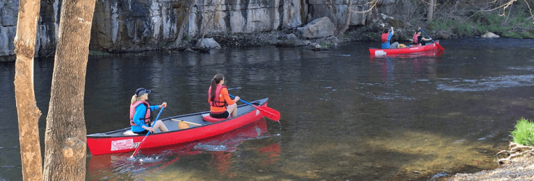
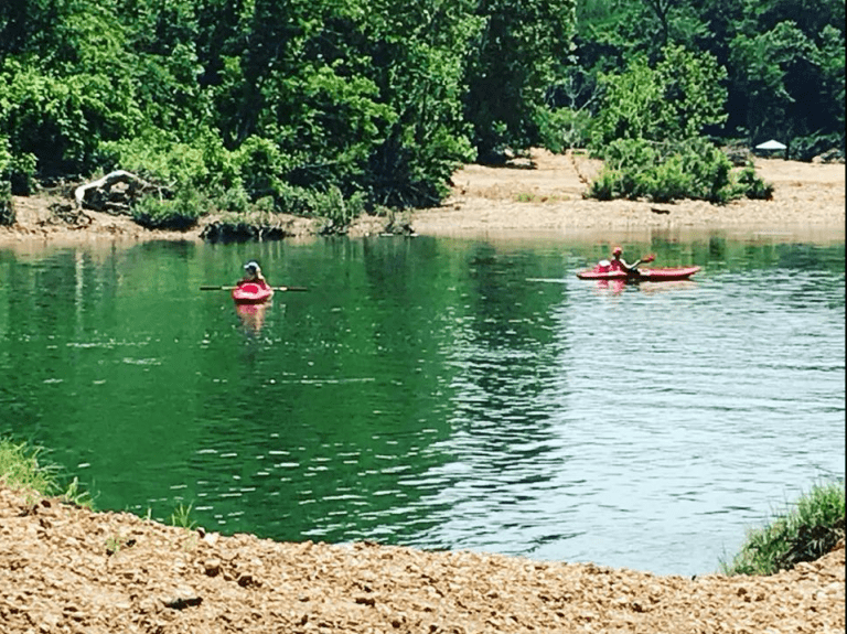
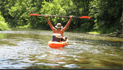
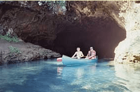
The Current River, stretching about 184 miles, is one of Missouri’s most beloved rivers for floating, fishing, and outdoor adventure. With its cool, spring-fed waters, breathtaking bluffs, and deep blue swimming holes, this river is perfect for canoers, kayakers, and tubers looking for an unforgettable experience.
Flowing through Van Buren, Doniphan, and Eminence, the Current River is part of the Ozark National Scenic Riverways, ensuring pristine beauty and protected waters. Popular stops along the way include Blue Spring (one of the deepest in the U.S.), Rocky Falls, and Big Spring, making every trip a chance to explore something incredible. Anglers will love casting for smallmouth bass, goggle-eye, and trout, while campers can enjoy riverside spots beneath starry Ozark skies. Whether you’re looking for a wild float trip with friends or a peaceful paddle through stunning scenery, the Current River is one of Missouri’s top river destinations!
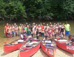
Circle B Campground & Resort LLC offers float trips on the Jacks Fork and Current rivers. We offer lodging – Campground and Cabins, and float trips. Read more...
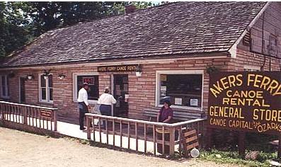
Harvey’s Alley Spring Canoe Rental offers float trips on the Jacks Fork and Current River. We have canoes, kayaks, rafts, tubes, camping, store, and shuttle service. Read more...
Running River Canoe Rental, LLC offers float trips on the Current River. We have canoes, rafts, kayaks, a convenience store, and a campground with full RV hookups. Read more...
Under Missouri law, an outfitter is not liable for an injury to or the death of a participant in paddlesport activities resulting from the inherent risks of paddlesport activities pursuant to the Revised Statutes of Missouri. Chapter 537 RSMO revised to 537.327