Sorry, no records were found. Please adjust your search criteria and try again.
Google Map Not Loaded
Sorry, unable to load Google Maps API.
Eleven Point River: Missouri’s Wild & Scenic Escape!
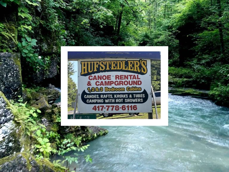
For a truly untamed and breathtaking river adventure, the Eleven Point River is a must-visit! Flowing 138 miles, this river is part of the National Wild and Scenic Rivers System, meaning it’s protected and stunningly pristine. With spring-fed waters, towering limestone bluffs, and lush forests, it’s the ultimate destination for multi-day float trips, kayaking, and camping.
Located near Alton and Thomasville, the Eleven Point is known for its cool, clear water, making it a refreshing float even in the hottest months. Paddlers love the gentle rapids and peaceful stretches, while anglers reel in trout, smallmouth bass, and goggle-eye. If you’re looking for a true backcountry river experience, complete with remote gravel bars, hidden caves, and abundant wildlife, the Eleven Point River is an Ozark paradise waiting to be explored!
Under Missouri law, an outfitter is not liable for an injury to or the death of a participant in paddlesport activities resulting from the inherent risks of paddlesport activities pursuant to the Revised Statutes of Missouri. Chapter 537 RSMO revised to 537.327