Gasconade River
No Records Found
Sorry, no records were found. Please adjust your search criteria and try again.
Google Map Not Loaded
Sorry, unable to load Google Maps API.
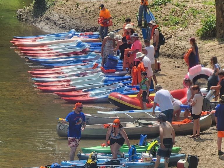
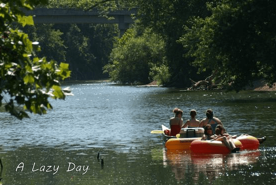
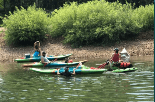
Gasconade River: A Floater’s Dream in the Heart of Missouri!
Winding an incredible 280 miles, the Gasconade River is one of the longest and most scenic rivers in Missouri! Known for its twisting bends, towering bluffs, and remote feel, this river is perfect for canoeing, kayaking, and multi-day float trips. Its gentle current and gravel bars make it a fantastic river for a relaxing getaway, whether you’re paddling for the day or setting up camp along the water.
Flowing through towns like Waynesville, Richland, and Vienna, the Gasconade is an angler’s paradise, full of smallmouth bass, largemouth bass, and catfish. With stunning rock formations, hidden caves, and abundant wildlife, every turn of this river offers a new sight to take in. Whether you’re looking for a peaceful escape or a weekend-long adventure, the Gasconade River is an absolute must-float in Missouri!
-
Family campground offering tent and RV camping; camp store; event center; Wi-Fi; dump station; cabin rentals; laundry; restroom; lighted boat ramp; grills; picnic tables; pavilion; bagged ice; fire wood; shower house. Ideal location for Scouts, organizations, family, church and military groups. Full-service canoe, raft, kayak, tube, and jon boat floats on the Big Piney River and the Gasconade River. https://www.bscoutdoors.com/ https://www.bscoutdoors.com/campground-info/driving-directions/ Read more...
-
Gasconade Hills Resort offers float trips on the Gasconade River. We have cabins, campground, swimming pool, canoes, kayaks, rafts, and tubes. Read more...
-
Ruby’s Landing LLC offers float trips on the Gasconade River. We have canoes, rafts, kayaks, tubes, jon boats, cabins, and RV rentals. Read more...