Sorry, no records were found. Please adjust your search criteria and try again.
Google Map Not Loaded
Sorry, unable to load Google Maps API.
Jacks Fork River: A Wild and Scenic Paddler’s Paradise!
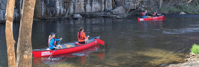
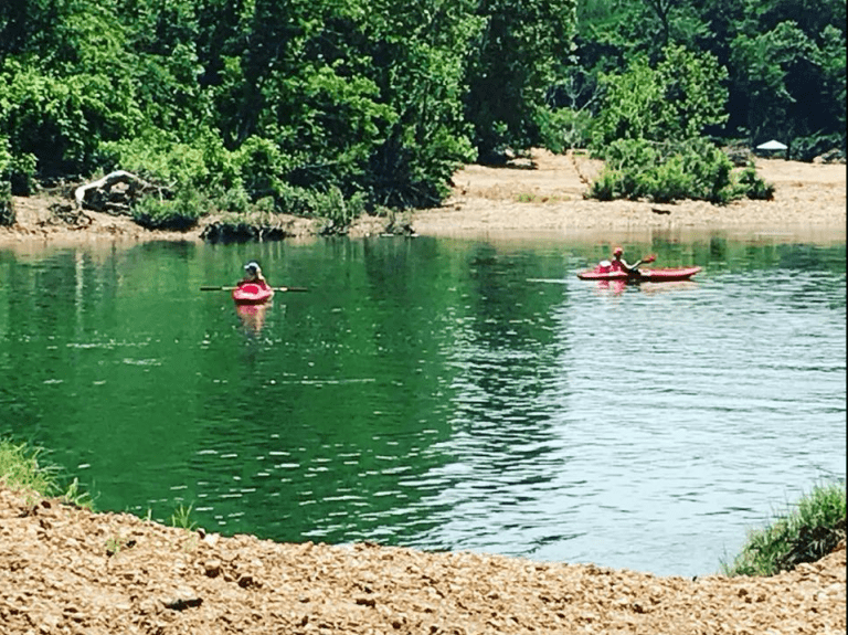
If you’re looking for one of Missouri’s most breathtaking and untouched rivers, the Jacks Fork River is a must-float! Flowing about 46 miles, this spring-fed river is part of the Ozark National Scenic Riverways, meaning it’s protected and incredibly pristine. With crystal-clear water, towering limestone bluffs, and hidden caves, this river is perfect for canoeing, kayaking, and tubing.
Passing through Eminence and Mountain View, Jacks Fork is known for its rugged beauty and challenging float sections, making it a favorite for experienced paddlers. The upper section is narrow and fast-moving, while the lower section offers a more relaxed float with great swimming holes and gravel bars. Anglers will love the smallmouth bass fishing, and camping under the stars along the riverbanks is an unforgettable experience. Whether you’re up for a thrilling ride or a scenic escape, Jacks Fork River is one of the most stunning floats in Missouri!
Circle B Campground & Resort LLC offers float trips on the Jacks Fork and Current rivers. We offer lodging – Campground and Cabins, and float trips. Read more...
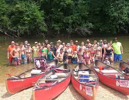
Harvey’s Alley Spring Canoe Rental offers float trips on the Jacks Fork and Current River. We have canoes, kayaks, rafts, tubes, camping, store, and shuttle service. Read more...
Under Missouri law, an outfitter is not liable for an injury to or the death of a participant in paddlesport activities resulting from the inherent risks of paddlesport activities pursuant to the Revised Statutes of Missouri. Chapter 537 RSMO revised to 537.327