Meramec River and Upper Meramec River
No Records Found
Sorry, no records were found. Please adjust your search criteria and try again.
Google Map Not Loaded
Sorry, unable to load Google Maps API.
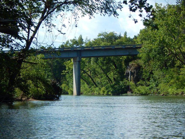
Meramec River: One of Missouri’s Best Float and Fishing Destinations!
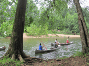
Stretching an impressive 218 miles, the Meramec River is one of Missouri’s most popular and scenic rivers! With spring-fed waters, towering bluffs, and endless gravel bars, it’s a floater’s paradise—whether you’re canoeing, kayaking, tubing, or even rafting. The river offers both calm stretches and exciting riffles, making it great for all skill levels.
Flowing through towns like Steelville, Sullivan, and Pacific, the Meramec is lined with state parks, campgrounds, and outfitters, making it easy to plan the perfect river getaway. Anglers will love fishing for smallmouth bass, catfish, and even trout in certain areas. Popular spots like Meramec State Park and Onondaga Cave State Park offer not just great river access but also hiking, camping, and cave tours! Whether you want a relaxing float with friends, a family-friendly paddle, or a weekend camping adventure, the Meramec River is a Missouri classic that never disappoints!
Upper Meramec River: Scenic Ozark Escape
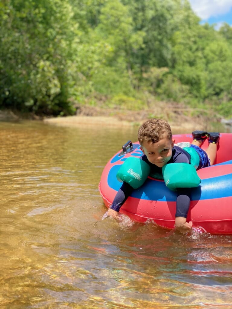
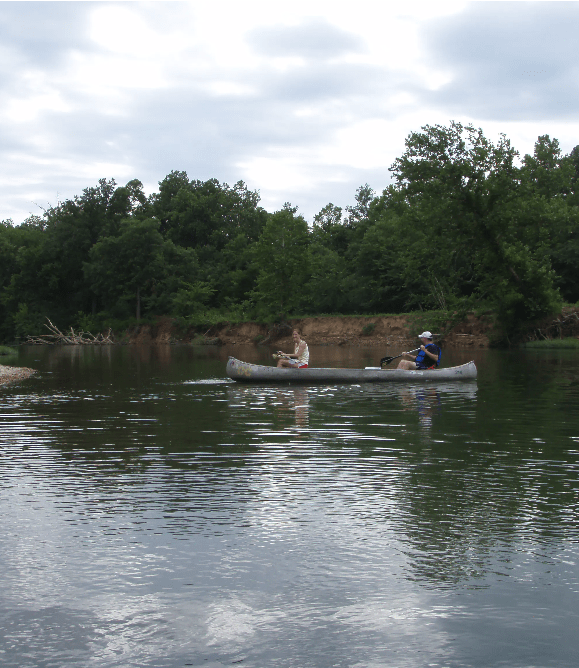
The Upper Meramec River winds through Missouri’s Ozark highlands, delivering a more intimate and rugged river experience well upstream of the St. Louis metro area. Here, the water moves with gentle rapids and clear flow through forested hills, limestone bluffs, and pastoral valleys — perfect for paddlers, anglers, and nature lovers seeking a less crowded Missouri river outing.
This stretch passes near communities like Steelville and flows past riverside gems such as Onondaga Cave State Park, where cave tours mingle with river access. It’s known for excellent smallmouth and largemouth bass fishing, and in cooler spring-fed areas you’ll also find trout habitat.
Float trip outfitters along the upper Meramec offer guided kayak, canoe, and raft experiences, with routes suited to beginners or more adventurous paddlers. Wildlife sightings are common — birds, turtles, and deer regularly appear along the banks. During high water, the river allows a continuous float through quite a distance; during low flows, certain riffles or shallow stretches may require pulling or portaging.
Whether you’re after a peaceful paddle, a solid fishing stretch, or a wilderness-tinged float trip, the Upper Meramec River invites you to explore one of Missouri’s more serene river corridors — just a bit farther off the beaten path, but well worth the trip.
-
Come float with us! 3 Bridges Raft Rental is located 3 miles south of Sullivan and offers unrivaled, scenic float trips on high quality rafts, canoes, and kayaks. Rafts are the most popular choice for floating, especially for families, because they are extremely stable and comfortable for leisurely floaters. Kayaks and canoes are perfect for the more adventurous individual, fisherman, Read more...
-
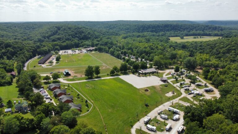
: 8:00 am - 5:00 pmMon8:00 am - 5:00 pmTue8:00 am - 5:00 pmWed8:00 am - 5:00 pmThu8:00 am - 5:00 pmFri8:00 am - 5:00 pmSat8:00 am - 5:00 pmSun8:00 am - 5:00 pmBass River Resort offers float trips on the Courtois, Huzzah and Meramec River. We have canoes, rafts, kayaks, tubes, camping, cabins, horseback riding, meals, hayrides and hiking trails Read more...
-
-
Looking for the perfect getaway? We’ve got it all! Enjoy Canoeing, Rafting, Kayaking, and Tubing down the crystal-clear Huzzah River, or relax in our cozy Cabins, A-frames, Bunkhouses, Hotel rooms, and even large houses. We also offer Horseback Riding, delivery of delicious Pizza right to your campsite, and Karen’s Café serving up a variety of tasty food. Whether you’re spending Read more...
-
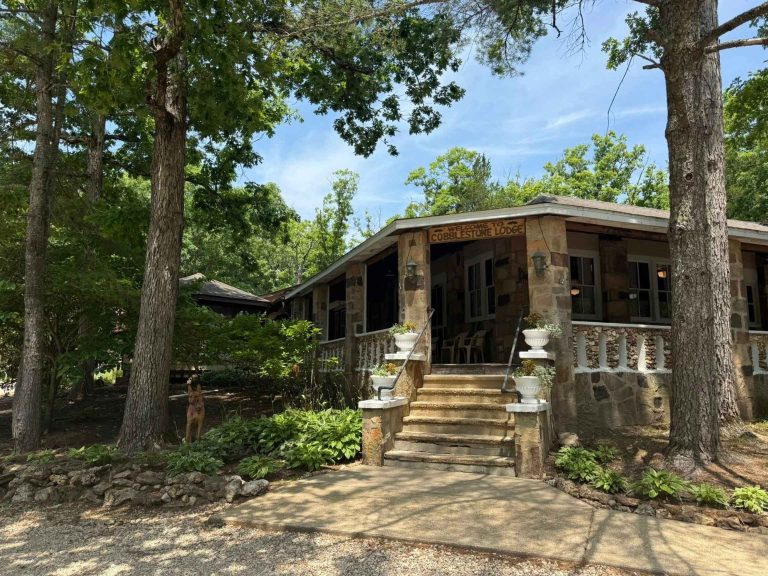
Indian Springs Family Resort offers float trips on the upper Meramec River. We have canoes, rafts, kayaks, camping, and cabins. Read more...
-
Old Cove Canoe & Kayak, LLC offers float trips on the Upper and Lower Meramec River. We have canoes, kayaks, and rafts. Read more...
-
The Rafting Company offers float trips on the Upper Meramec River. We have rafts, canoes, kayaks, tubes, camping, lodging, pool, and food service. Read more...