Niangua River
No Records Found
Sorry, no records were found. Please adjust your search criteria and try again.
Google Map Not Loaded
Sorry, unable to load Google Maps API.
Niangua River: The Ultimate Float Trip Destination!
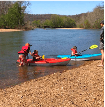
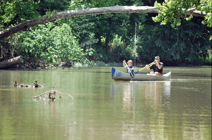
If you’re looking for a classic Missouri float trip, the Niangua River is a must-visit! Flowing about 125 miles, this spring-fed river is known for its cool, clear waters, gentle rapids, and beautiful Ozark scenery. Whether you’re canoeing, kayaking, or tubing, the Niangua offers fun for all skill levels, making it one of the most popular floating rivers in the state.
Running near Lebanon and Bennett Spring State Park, the Niangua is famous for its excellent trout fishing—anglers flock here for rainbow and brown trout. With plenty of campgrounds, outfitters, and gravel bars for picnicking, this river is ideal for a weekend getaway full of adventure and relaxation. Whether you’re after a peaceful float, a lively group trip, or an unforgettable fishing experience, the Niangua River has something for everyone!
-
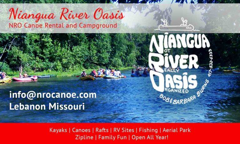
Niangua River Oasis (NRO) is a full-service canoe outfitter that started back in 1977 by Bob and Barbara Burns. Here at NRO, you can enjoy camping and a leisurely float down the Niangua River. Thrill to white water excitement. Rapids are fun and exciting for beginners and experienced paddlers. We offer over 60 acres of campgrounds on the Niangua River. Read more...
-
Riverfront Campground & Canoe offers float trips on the Niangua River. We have canoes, rafts, kayaks, tubes, camping, RV sites, and cabins. Read more...
-
Sand Spring Resort and Canoe LLC offers float trips on the Niangua River. Located in the heart of Missouri’s Ozarks, Sand Spring Resort in Lebanon has everything you need for a perfect getaway. A beautiful natural setting for trout fishing, canoe and raft float trips, picnics, and exploring. Plus quality lodging and accommodations to keep you comfortable and relaxed throughout Read more...
-