North Fork of the White River & Bryant Creek
No Records Found
Sorry, no records were found. Please adjust your search criteria and try again.
Google Map Not Loaded
Sorry, unable to load Google Maps API.
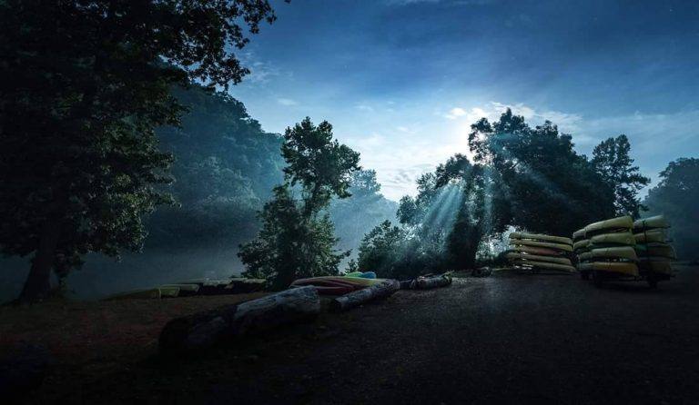
North Fork River: Crystal-Clear Waters and Nonstop Fun!
The North Fork River is one of Missouri’s most stunning and exciting float streams, stretching about 109 miles through the Ozark hills. With spring-fed waters, fast-moving riffles, and deep swimming holes, this river is a dream for canoeists, kayakers, and tubing enthusiasts. The water is amazingly clear, making it perfect for spotting fish and wildlife as you float along.
Flowing near West Plains and Tecumseh, the North Fork is a trout-fishing paradise, thanks to Rainbow Spring and the North Fork of the White River. It’s a designated Blue Ribbon Trout Area, meaning fly fishers and anglers have a great chance of landing a big one. Add in plenty of gravel bars for camping, towering bluffs, and shaded forests, and you’ve got an unforgettable Missouri river adventure! Whether you’re after a thrilling paddle or a relaxing float, the North Fork River is an absolute must-visit!
Bryant Creek: A Secluded Ozark Wonderland!
If you’re looking for a peaceful, off-the-beaten-path float, Bryant Creek is a must-visit! Flowing about 39 miles through the heart of the Missouri Ozarks, this river is known for its stunning bluffs, deep pools, and hidden springs. Perfect for canoeing, kayaking, and fishing, Bryant Creek offers a slower pace, making it a dream spot for paddlers who want to take in the breathtaking scenery and spot wildlife along the way.
Located near Dora and Tecumseh, this secluded gem is a paradise for anglers, with smallmouth bass, goggle-eye, and catfish swimming in its waters. The river eventually joins the North Fork of the White River, giving floaters a chance to extend their adventure even further. If you love the sound of nothing but nature, this is the spot for you—no crowds, no noise, just pure Ozark beauty. Grab your paddle and explore!
-
: Open 24 hoursMonOpen 24 hoursTueOpen 24 hoursWedOpen 24 hoursThuOpen 24 hoursFriOpen 24 hoursSatOpen 24 hoursSunOpen 24 hoursSunburst Ranch is located on a beautiful stretch of the North Fork River in Missouri. With over a mile of riverfront, you can bring your own inflatable devices and take a nice float without ever leaving the campground. Read more...