St. Francis River and Big Creek
No Records Found
Sorry, no records were found. Please adjust your search criteria and try again.
Google Map Not Loaded
Sorry, unable to load Google Maps API.
St. Francis River: Whitewater Thrills and Scenic Beauty!
The St. Francis River, stretching about 426 miles, is one of Missouri’s best-kept secrets for whitewater adventure! Flowing through southeastern Missouri, this river features stunning rock formations, rushing rapids, and crystal-clear waters, making it a top destination for kayakers and thrill-seekers. It’s one of the few rivers in Missouri with true whitewater sections, especially in the Millstream Gardens and Silver Mines areas.
Running near Fredericktown and Farmington, the St. Francis also offers great fishing opportunities for smallmouth bass, sunfish, and catfish. Beyond the rapids, there are calmer stretches perfect for a scenic float, with towering bluffs, deep swimming holes, and shady forested banks. Whether you’re seeking an adrenaline-pumping whitewater run or a peaceful paddle through breathtaking Ozark scenery, the St. Francis River is a must-visit for outdoor lovers!
Big Creek: A Scenic Float Through the Ozarks!
Winding through southeastern Missouri, Big Creek is a beautiful and peaceful waterway perfect for kayaking, canoeing, and fishing. Known for its clear waters, rocky bluffs, and shaded banks, this creek offers a relaxing yet scenic float through classic Ozark landscapes.
Flowing near Piedmont and Sam A. Baker State Park, Big Creek is popular among anglers, with smallmouth bass, sunfish, and catfish thriving in its waters. The slow-moving current and occasional gentle rapids make it a great option for both beginners and experienced paddlers. Wildlife lovers will enjoy spotting deer, turtles, and great blue herons along the way. Whether you’re looking for a peaceful paddle, a fishing getaway, or a quiet retreat into nature, Big Creek is a hidden gem that showcases the beauty of Missouri’s waterways!
-
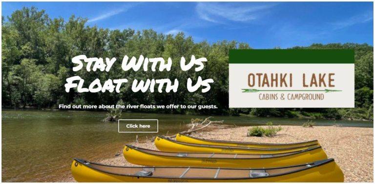
Otahki Outfitters offers float trips on the St. Francis River. We offer kayaks, canoes, guided floats, fishing, cabins, RV sites, primitive camping, and equestrian sites. Read more...